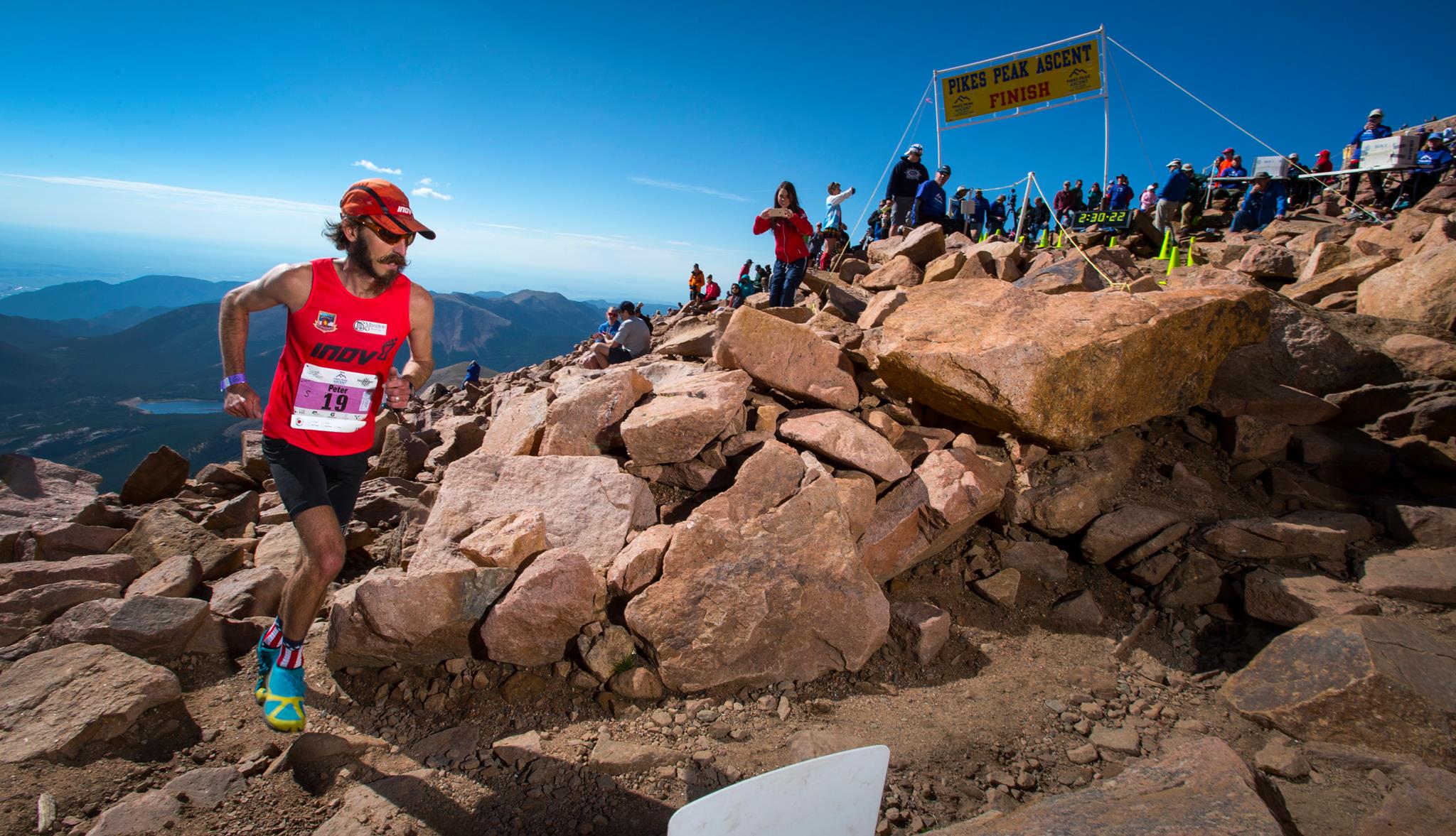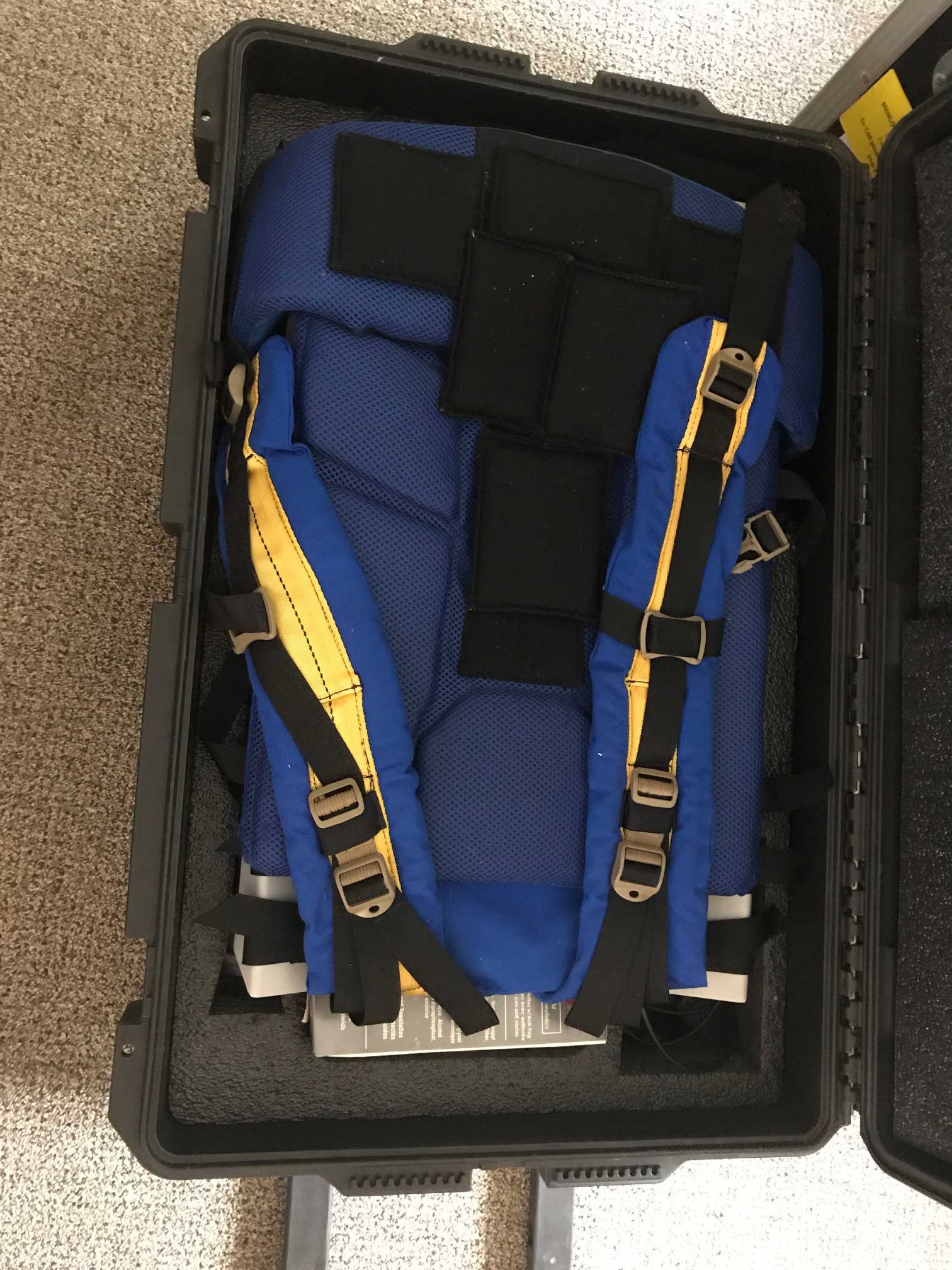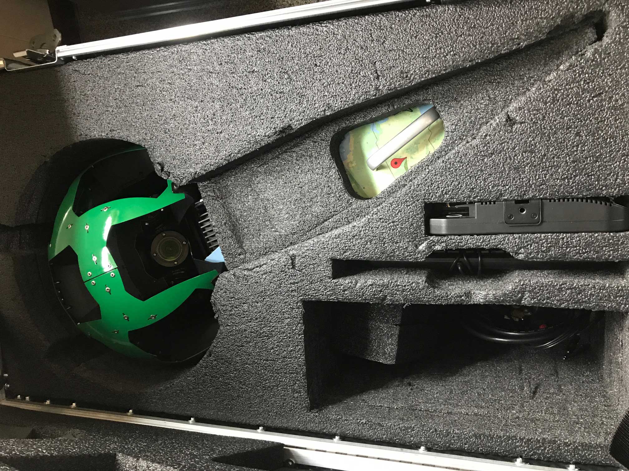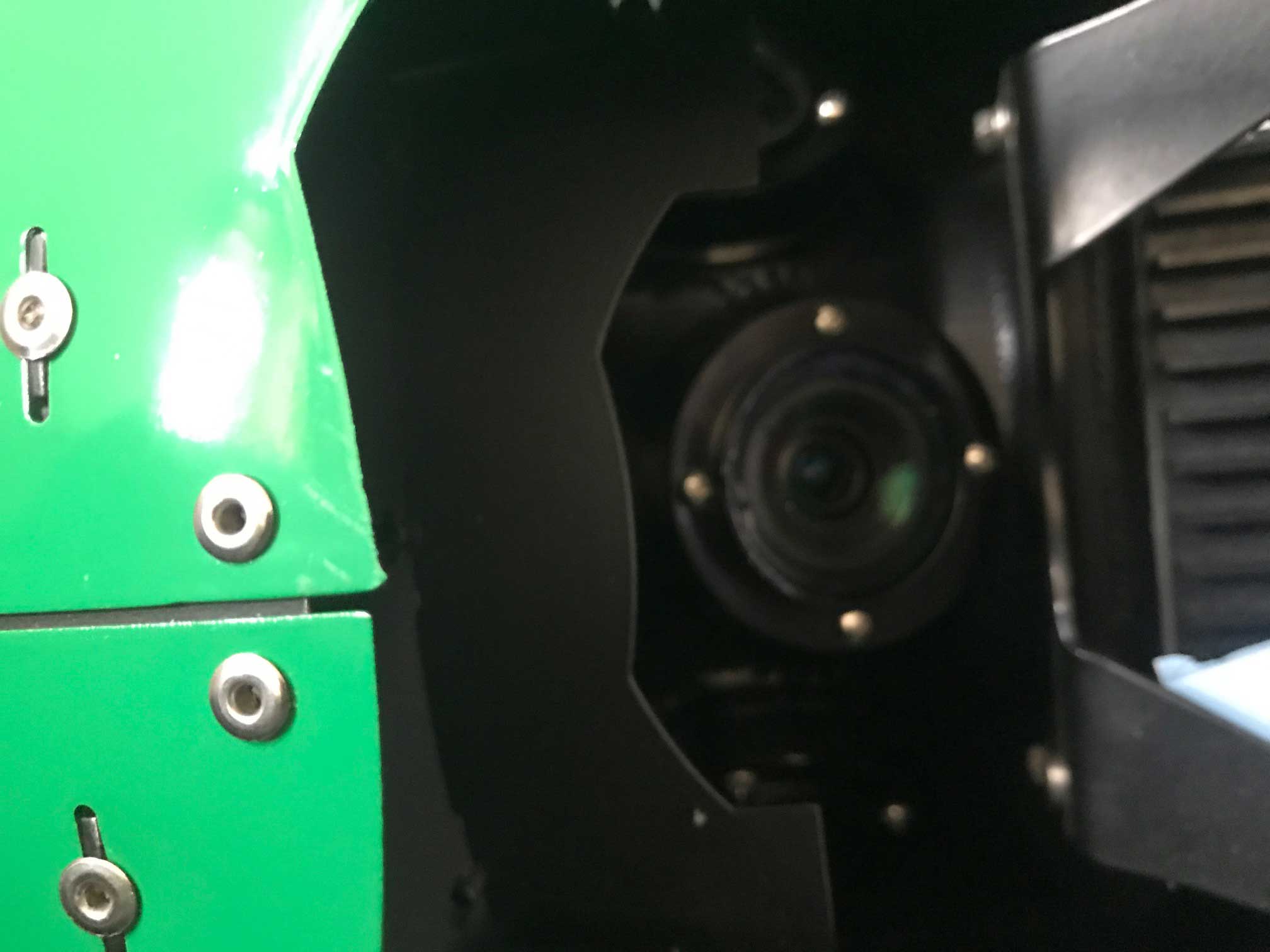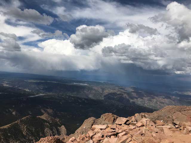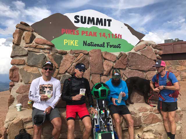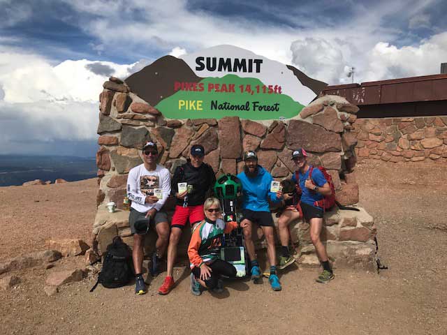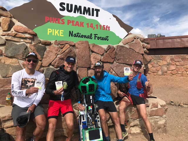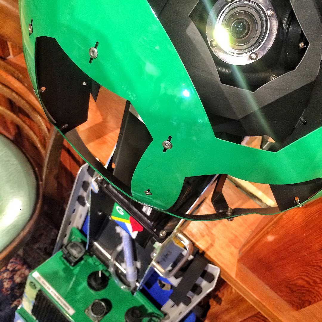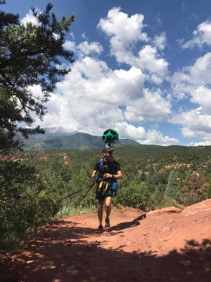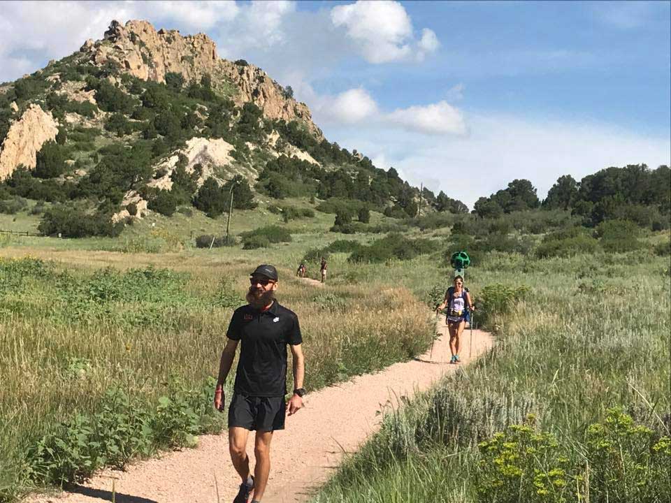
Welcome to the home of our Pikes Peak Trekker project. On Tuesday August 15, 2017 we captured panoramic “street-view” imagery of the entire Pikes Peak Ascent & Marathon course using Google’s backpack-mounted camera system. The resulting imagery will enable fans of the Pikes Peak race to view the entire length of the trail from the comfort of their home, or on the go with any mobile device. Currently only a limited number of people per year have the fitness and privilege to race Pikes Peak; now anyone with a computer can see what the runners see during their journey from Manitou Springs to the 14,115′ mountain summit. See the team reach the summit in the video below:
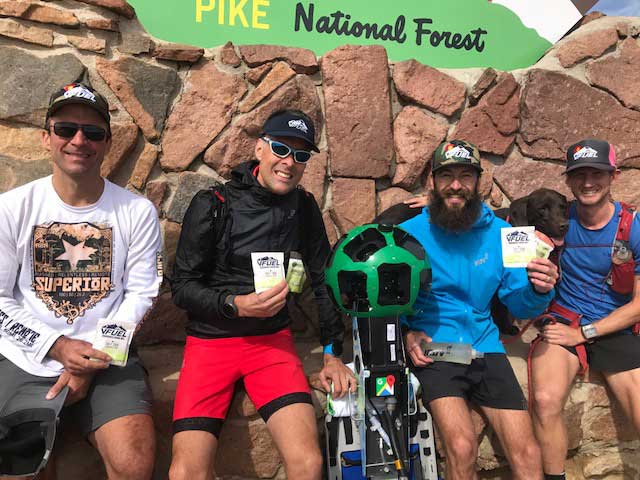
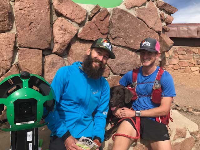
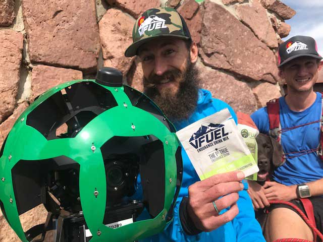
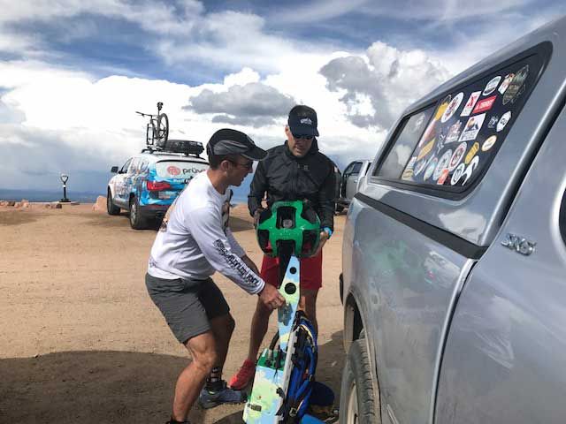
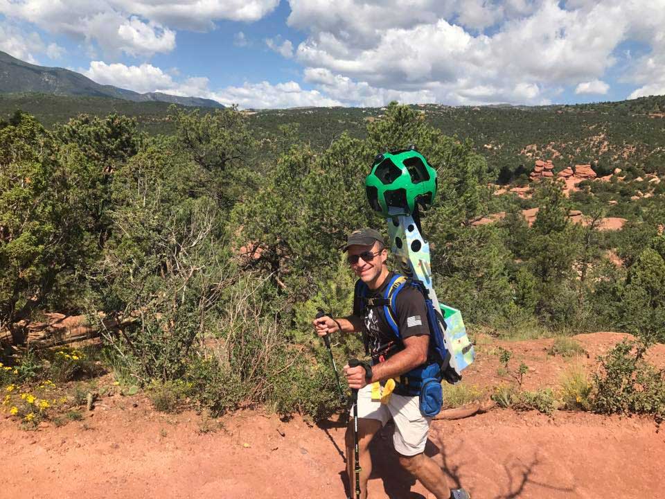
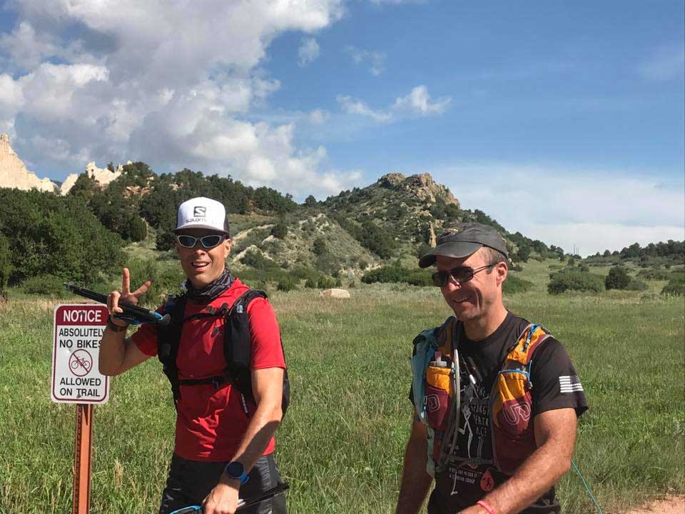
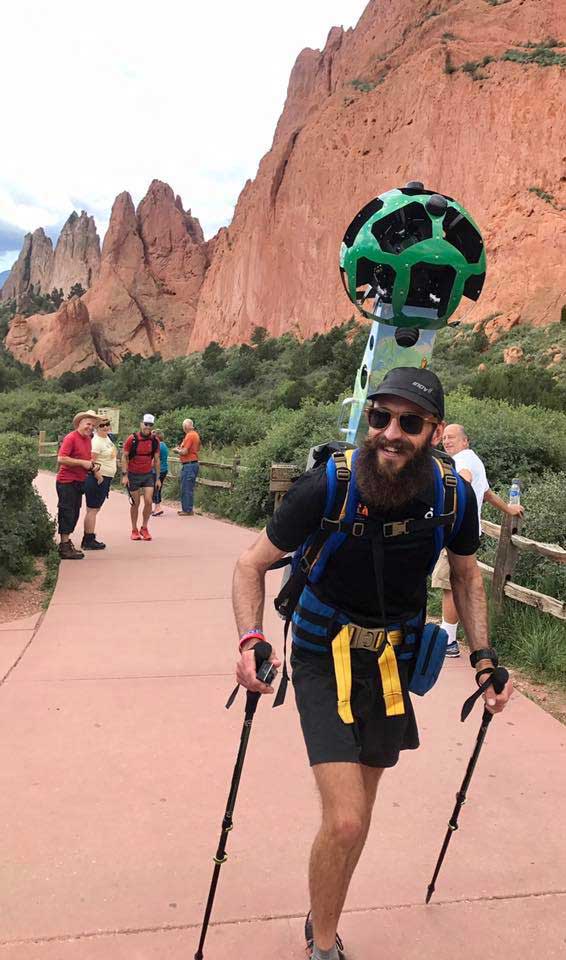
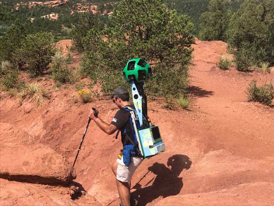
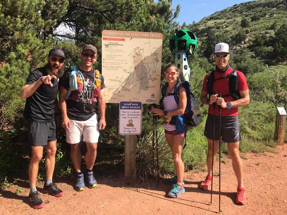
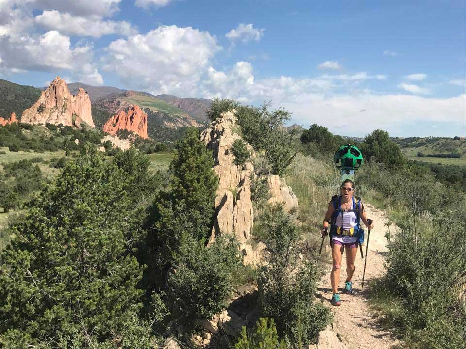
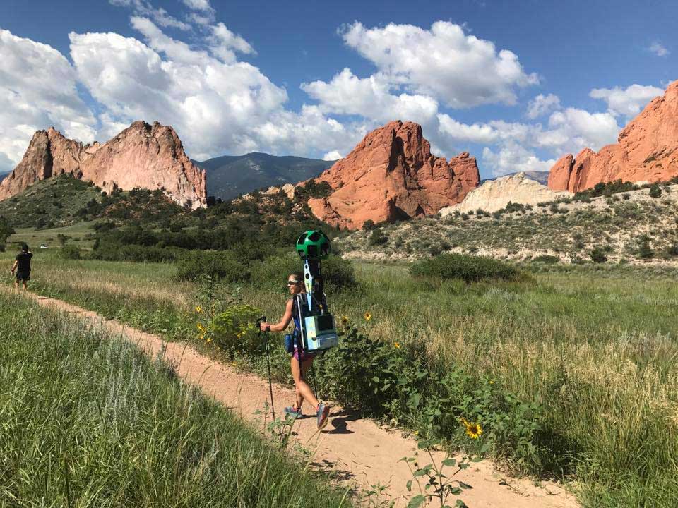
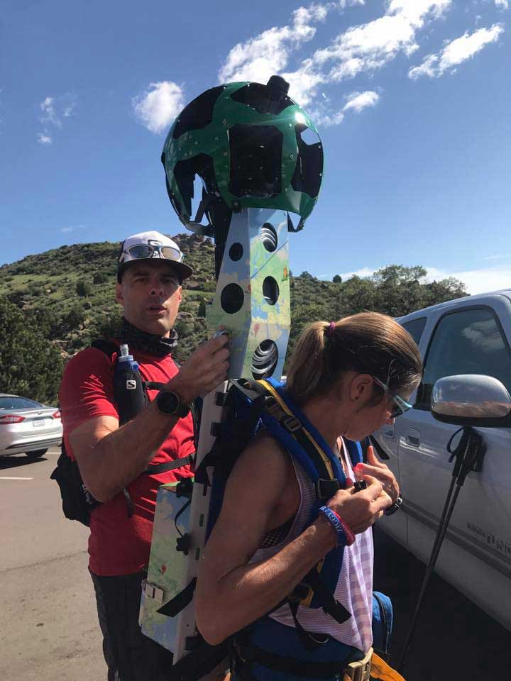
Led by our Director of Marketing Richard Bolt, the expedition of 4 trail runners hiked the 13 mile uphill course in one day with a 50-pound backpack-mounted camera system. The team also captured images of the Manitou Incline and trails in Garden of the Gods.
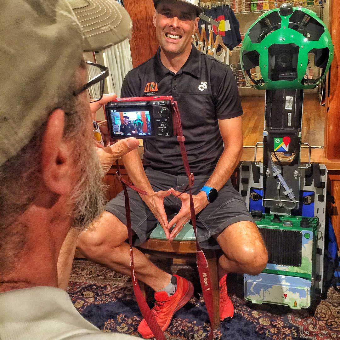
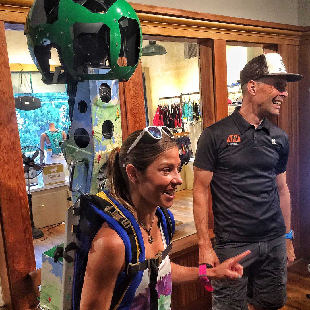
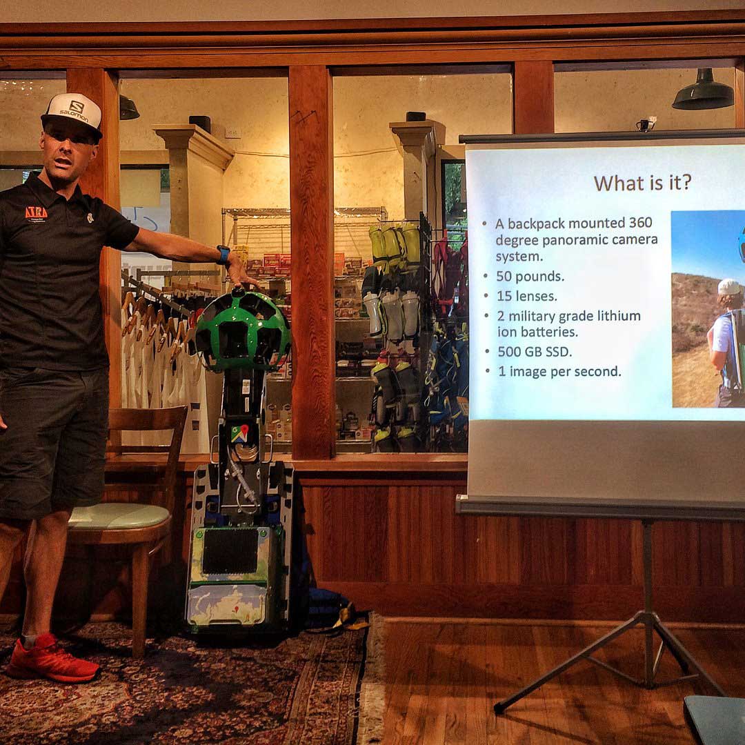
On Monday, August 14, 2017 the ATRA crew was at the Colorado Running Company’s Manitou Spring location at 513 Manitou Avenue for a “meet the Trekker Team” complete with a Power Point presentation by Richard Bolt about the Western States Trekker Expedition and details on the Pikes Peak Trekker expedition.
[April 2018 UPDATE] Pikes Peak Trekker images are now live on Google Maps! Below are some shortcuts to the imagery.
This project is a follow-up to our successful Western States Trekker project conducted in June 2016 with the Western States 100 Mile Endurance Run in California.
Trekker news will appear on the right side of this page under the post category: Pikes Peak Trekker