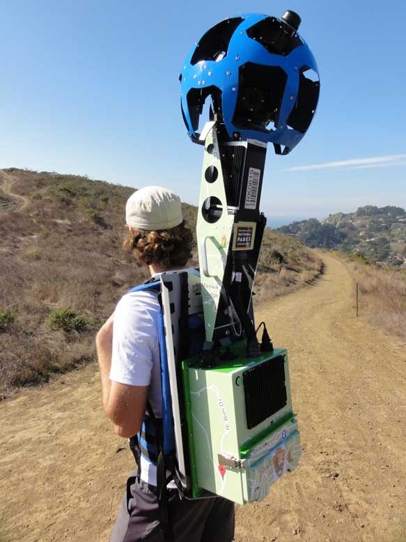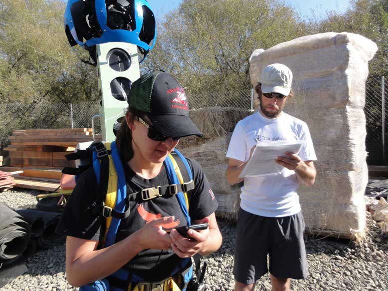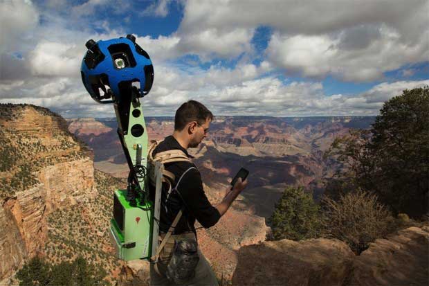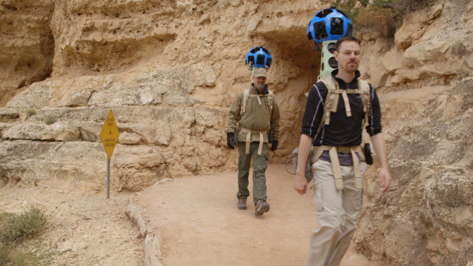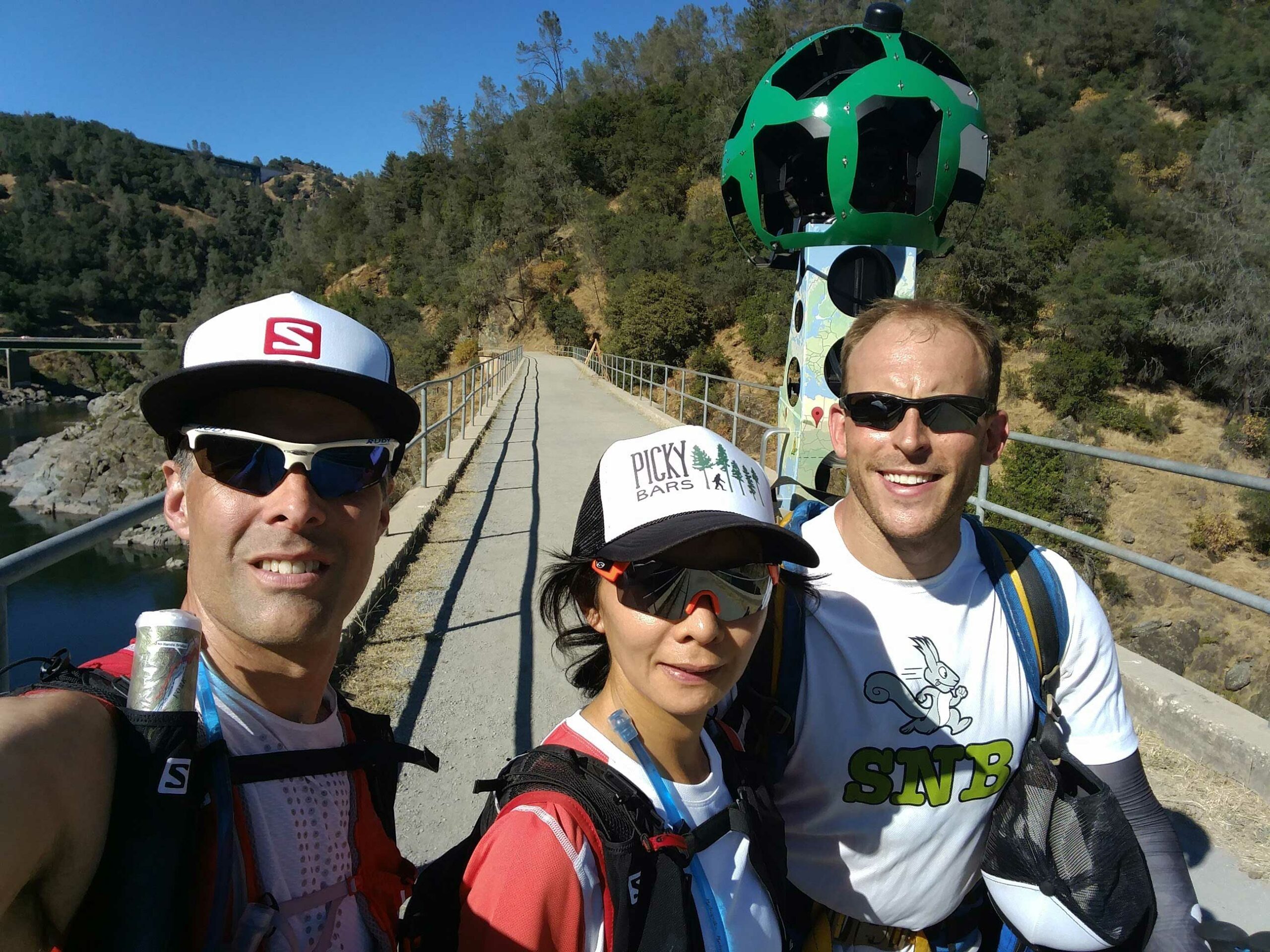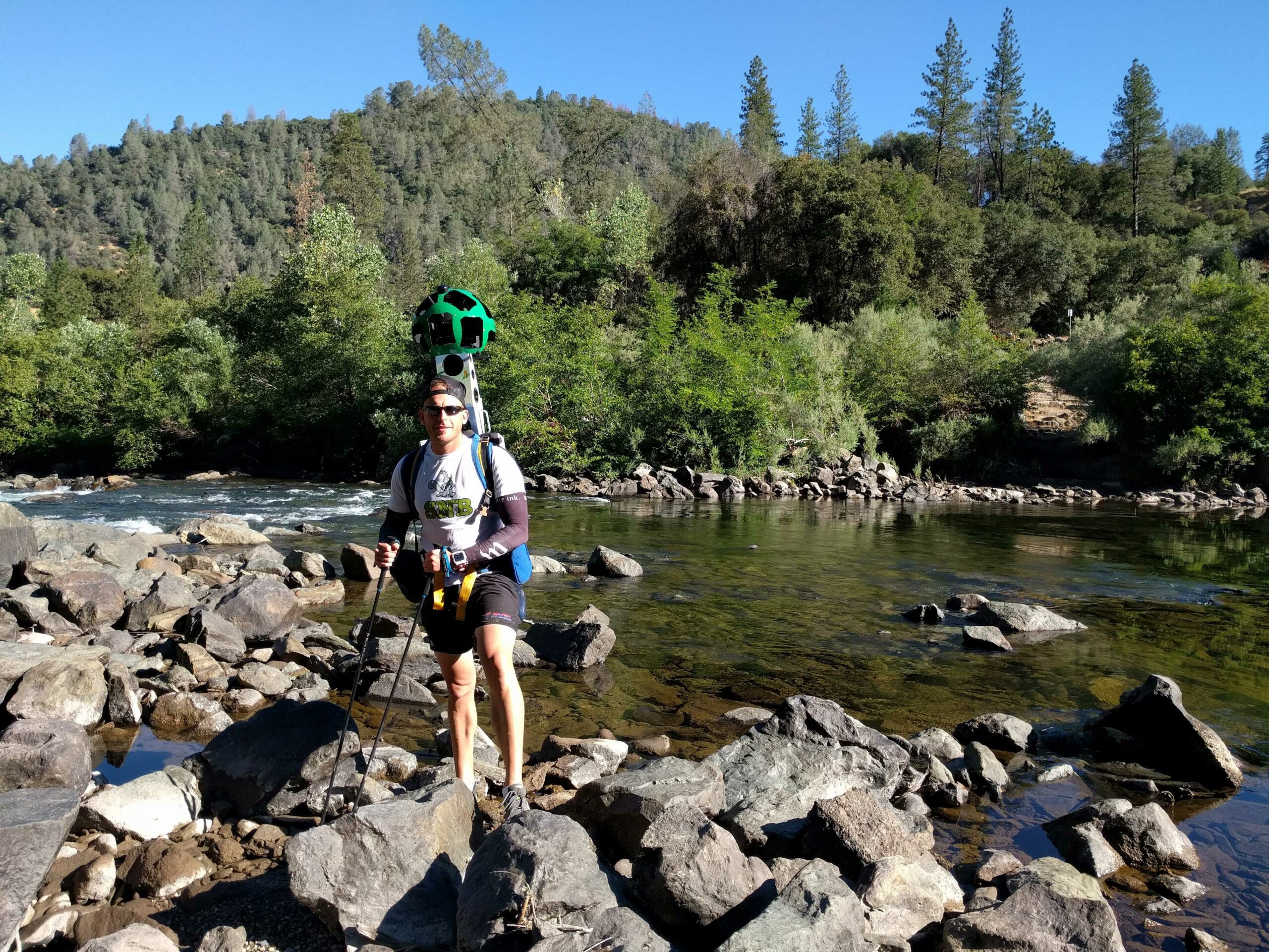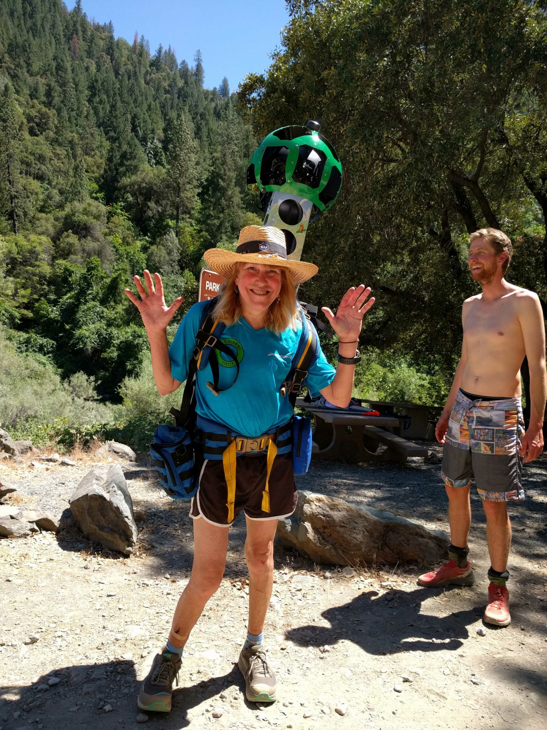
On June 19th to 24th 2016, the American Trail Running Association partnered with the Google Maps team to capture 360 degree panoramic “street-view” imagery of the entire Western States Trail using the Street View Trekker backpack.
You can now explore the first 78 miles of the Western States Trail on Google Maps by dragging the “yellow man” from the lower right of the page onto a section of trail. Below are links to some well known points along the route:
- Watson Monument / Emigrant Pass Marker – https://goo.gl/maps/HbRB73zzURT2
- Lyon Ridge Aid Station (Mile 10.3) – https://goo.gl/maps/XVPbWZWwKg82
- Red Star Ridge Aid Station (Mile 15.8) – https://goo.gl/maps/Tg53K2wtLJ32
- Duncan Canyon Aid Station (Mile 24.4) – https://goo.gl/maps/Q1eYZmBhHVk
- Robinson Flat Aid Station (Mile 30.3) – https://goo.gl/maps/RpBc7Q1MmZy
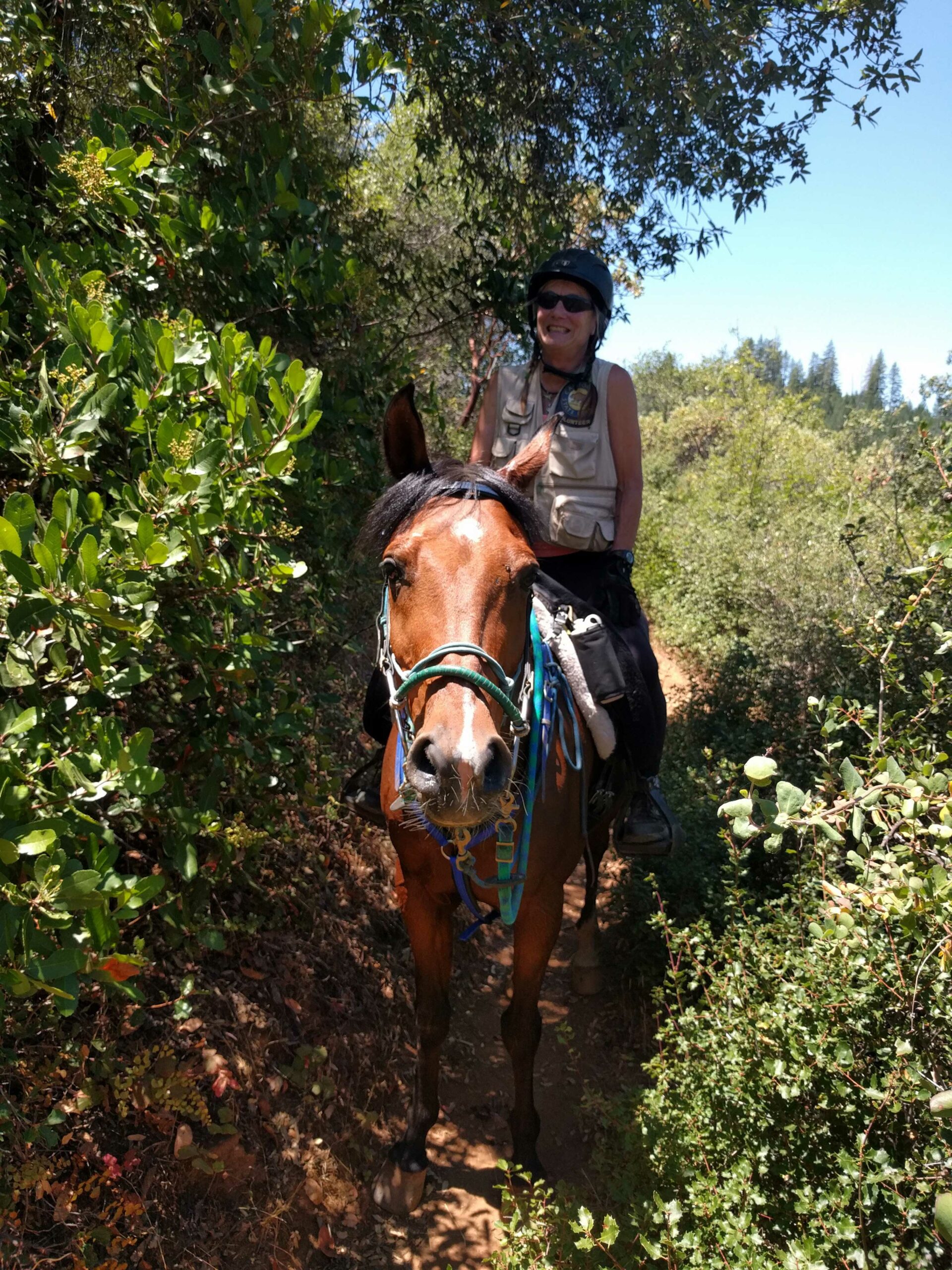
- Horses on the trail before Miller’s Defeat Aid Station (34.4) – https://goo.gl/maps/pT3DdufjpBn
- Dusty Corners Aid Station (Mile 38) – https://goo.gl/maps/U9BLASMLxTk
- Last Chance Aid Station (Mile 43.3) – https://goo.gl/maps/rgZAF65rAUs
- Canyon #1 Creek Crossing – https://goo.gl/maps/sf7U3LmQkEv
- Devil’s Thumb Aid Station (Mile 47.8) – https://goo.gl/maps/UCvn6vHEUm12
- El Dorado Creek Aid Station (Mile 52.9) – https://goo.gl/maps/ktKDZZEt8CB2
- Michigan Bluff Aid Station (Mile 55.7) – https://goo.gl/maps/BZ7rCanDNtL2
- The spring at Bath Road Aid Station – https://goo.gl/maps/H4poqMLZsLA2
- Foresthill Aid Station (Mile 62) – https://goo.gl/maps/utQz9UwZPLp
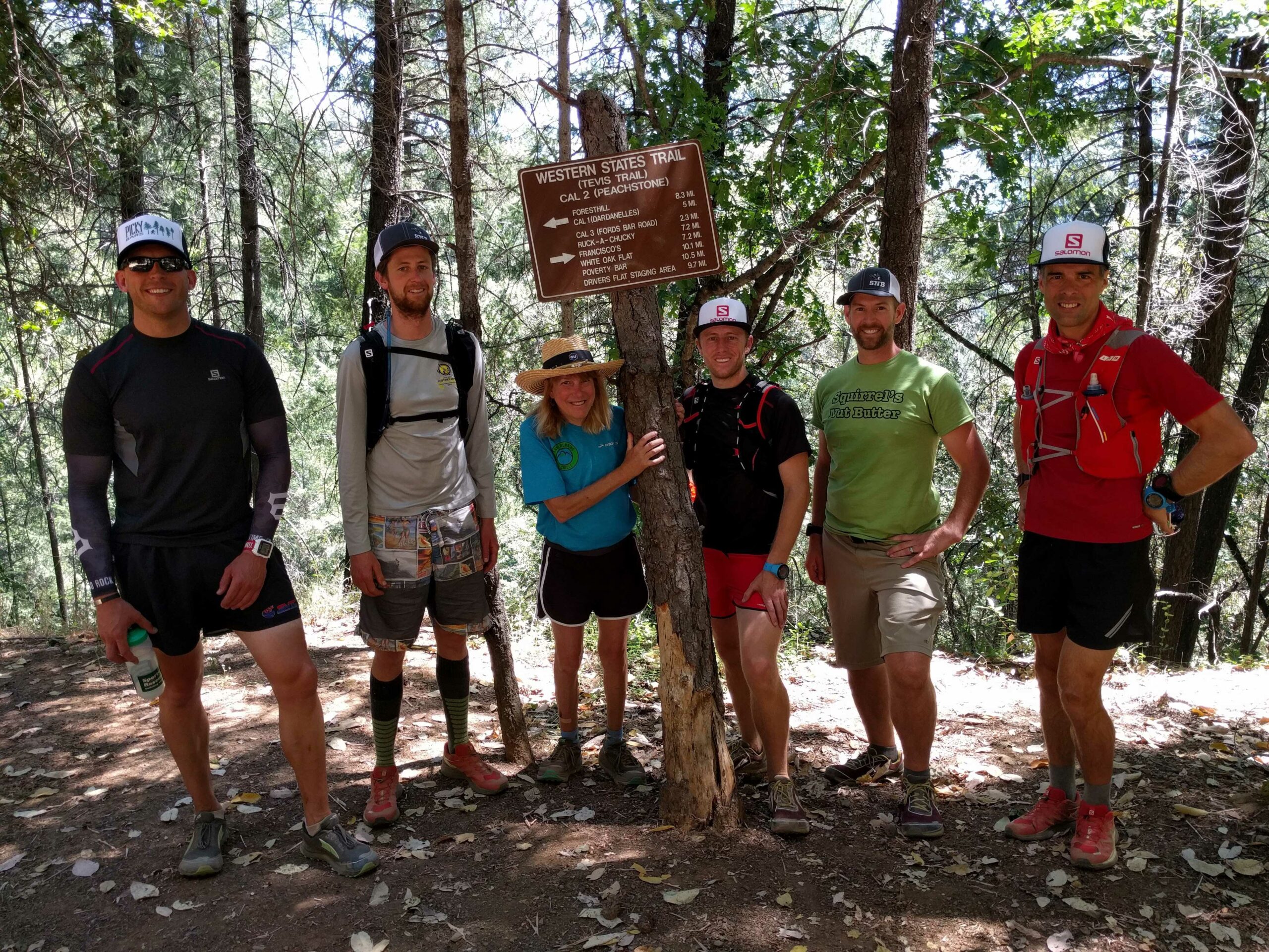
- Dardanelles (Cal-1) Aid Station (Mile 65.7) – https://goo.gl/maps/Y9ih86Rm8tF2
- Peachstone (Cal-2) Aid Station (Mile 70.7) – https://goo.gl/maps/pNxFcWmfRh52
- Horses on the trail after Cal-2 – https://goo.gl/maps/LA4qTFRW35K2
- Ford’s Bar (Cal-3) Aid Station (Mile 73) – https://goo.gl/maps/aGoWrCatnX12
- Rafters on the American River – https://goo.gl/maps/zjASPWrPr1w
- Rucky Chucky Aid Station (Mile 78) River Crossing – https://goo.gl/maps/LhVRDNgzWtt
- Far side of the river crossing: https://goo.gl/maps/naMz8uiPU5D2
- Green Gate – https://goo.gl/maps/owBQpD7HPUE2
- Alt Aid Station – https://goo.gl/maps/wUDXucpgum42
- Brown’s Bar – https://goo.gl/maps/c9wZX11ySkA2
- Walmsley’s Folly – https://goo.gl/maps/S57bV1Hdhe62
- Highway 49 crossing – https://goo.gl/maps/HdWcmChDYe22
- Golden fields of splendor & pain – https://goo.gl/maps/QXmpyTVBUFz
- No Hands Bridge – https://goo.gl/maps/aCH7XyoZTpT2
- Robie Point – https://goo.gl/maps/6sX2roFwg9w
- Finish line – https://goo.gl/maps/iGoMaAbNaks
Our expedition took place the week before the 2016 Western States 100 Mile Endurance Run on June 25. Led by our Director of Online Marketing, Richard Bolt, and supported by several prominent ATRA corporate members, the expedition was documented by iRunFar, Scott Yates and experienced trail running race photographer Mike Hermsmeyer. Read iRunFar’s Perspectives From the Western States Trekker Project to get a behind the scenes look into the expedition.
Read our Trail News blog posts on the right side of this page to see daily updates written by the team as they traversed 100 miles of rugged Sierra Nevada mountain trails from Squaw Valley to Auburn, California.
About The Western States 100-Mile Endurance Run
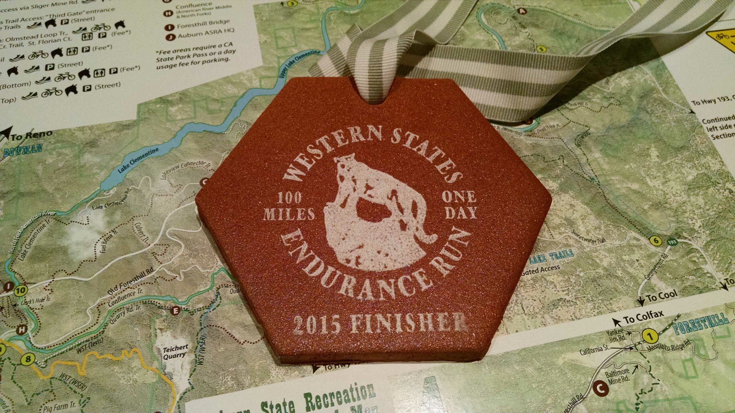
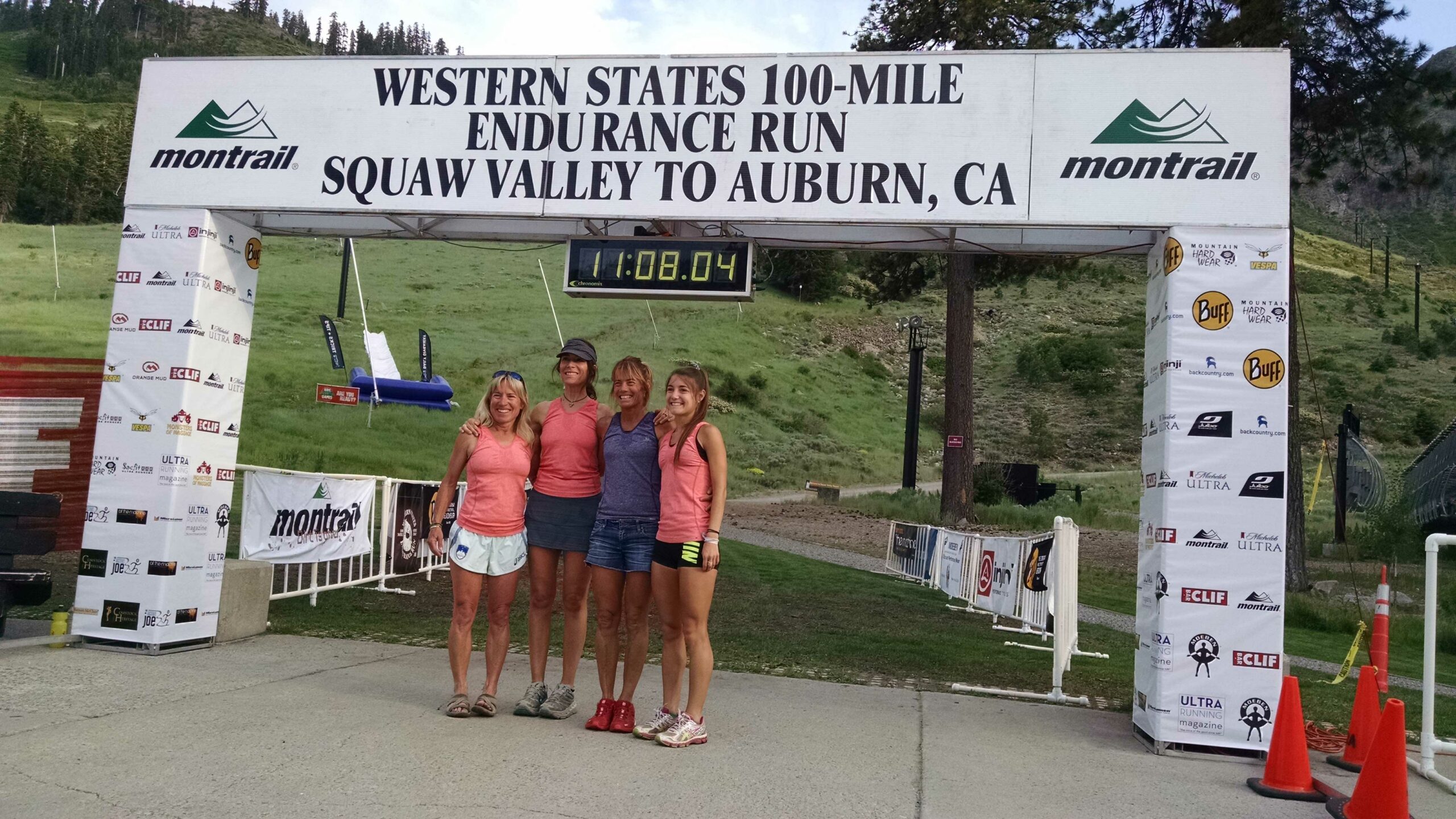
The Western States 100-Mile Endurance Run is the world’s oldest and most prestigious 100-mile trail race. Starting in Squaw Valley, California near the site of the 1960 Winter Olympics and ending 100.2 miles later in Auburn, California, Western States, in the decades since its inception in 1974, has come to represent one of the ultimate endurance tests in the world.
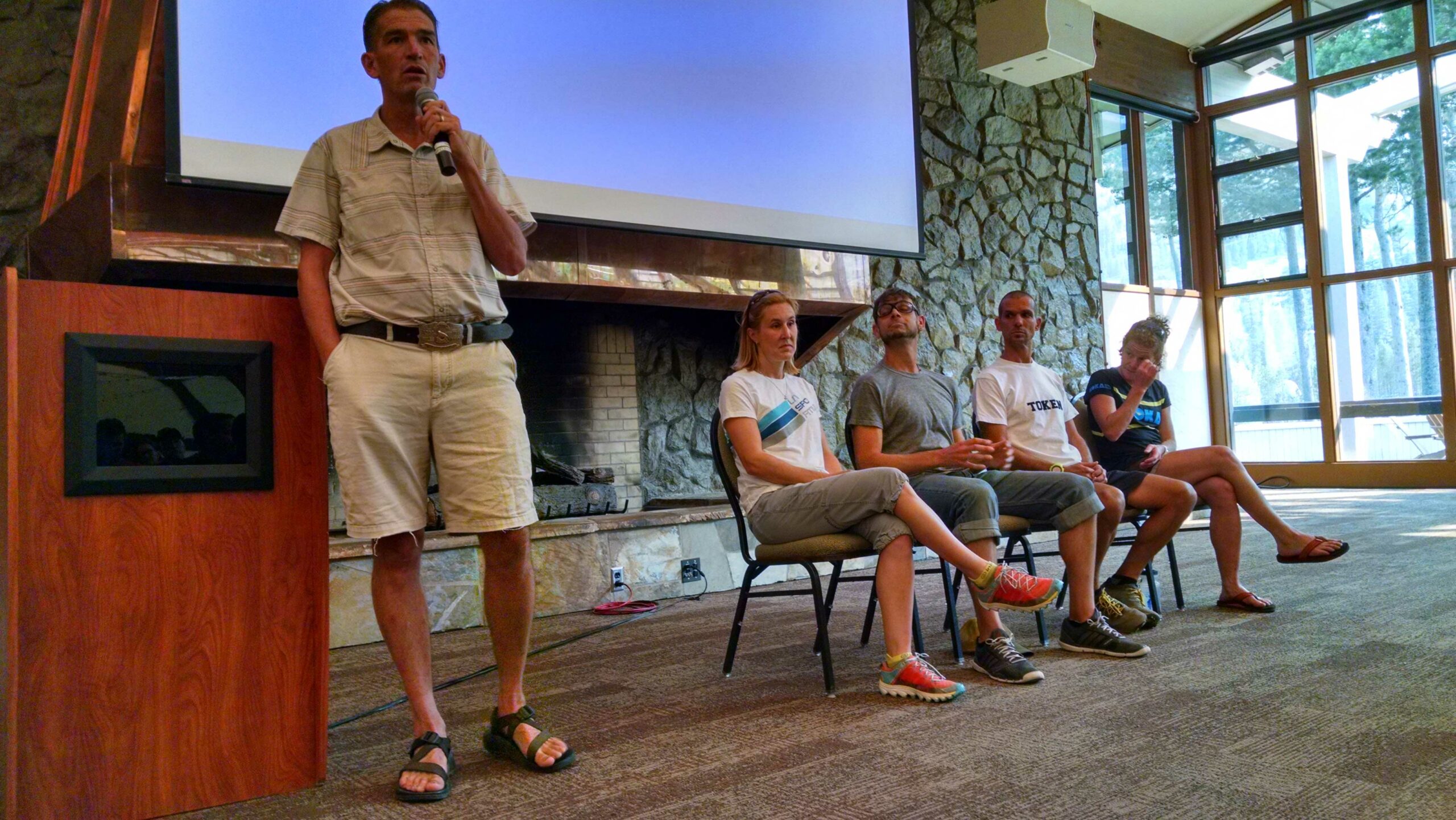
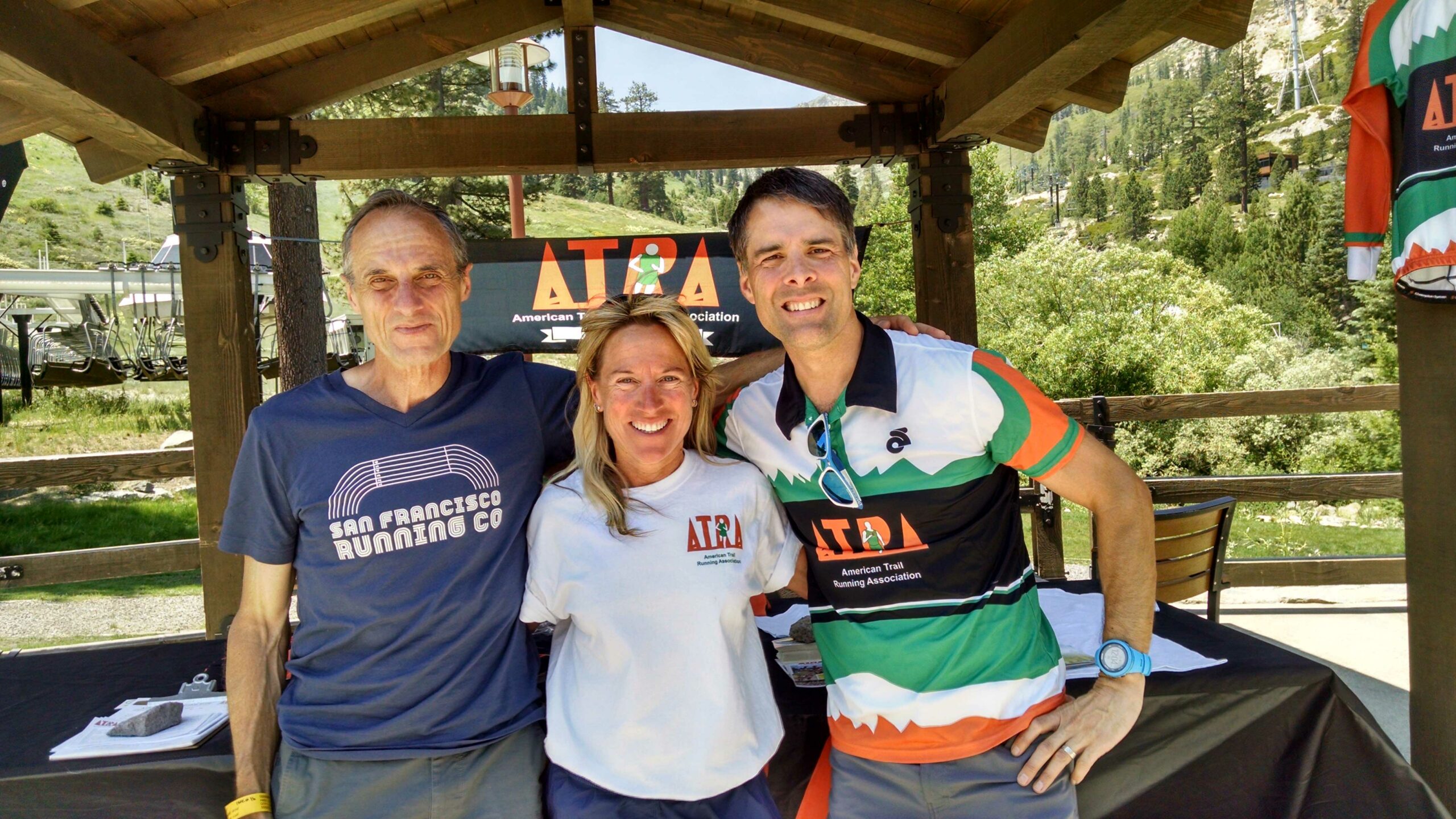
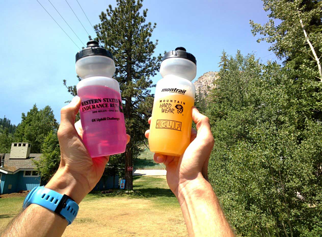
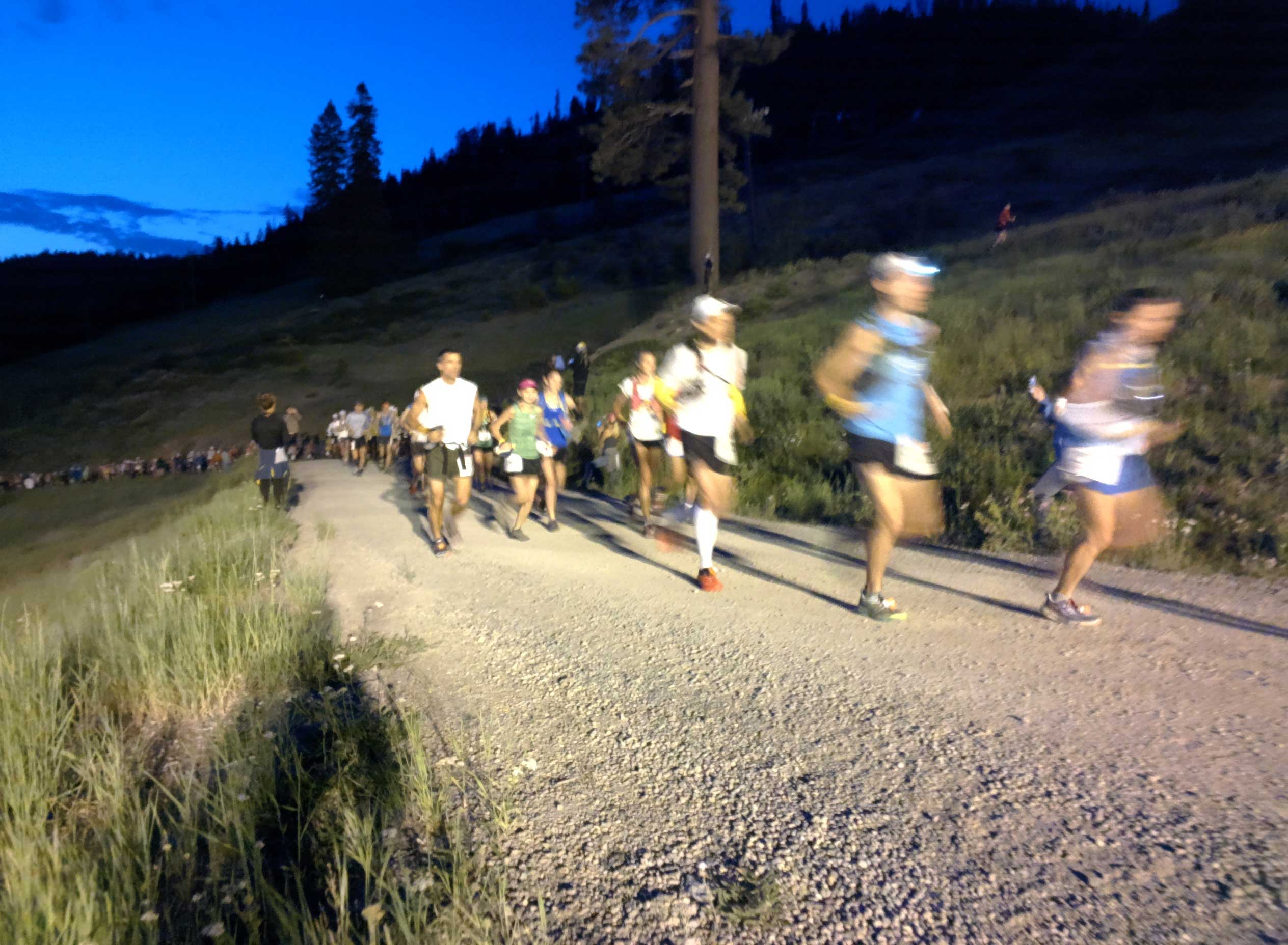
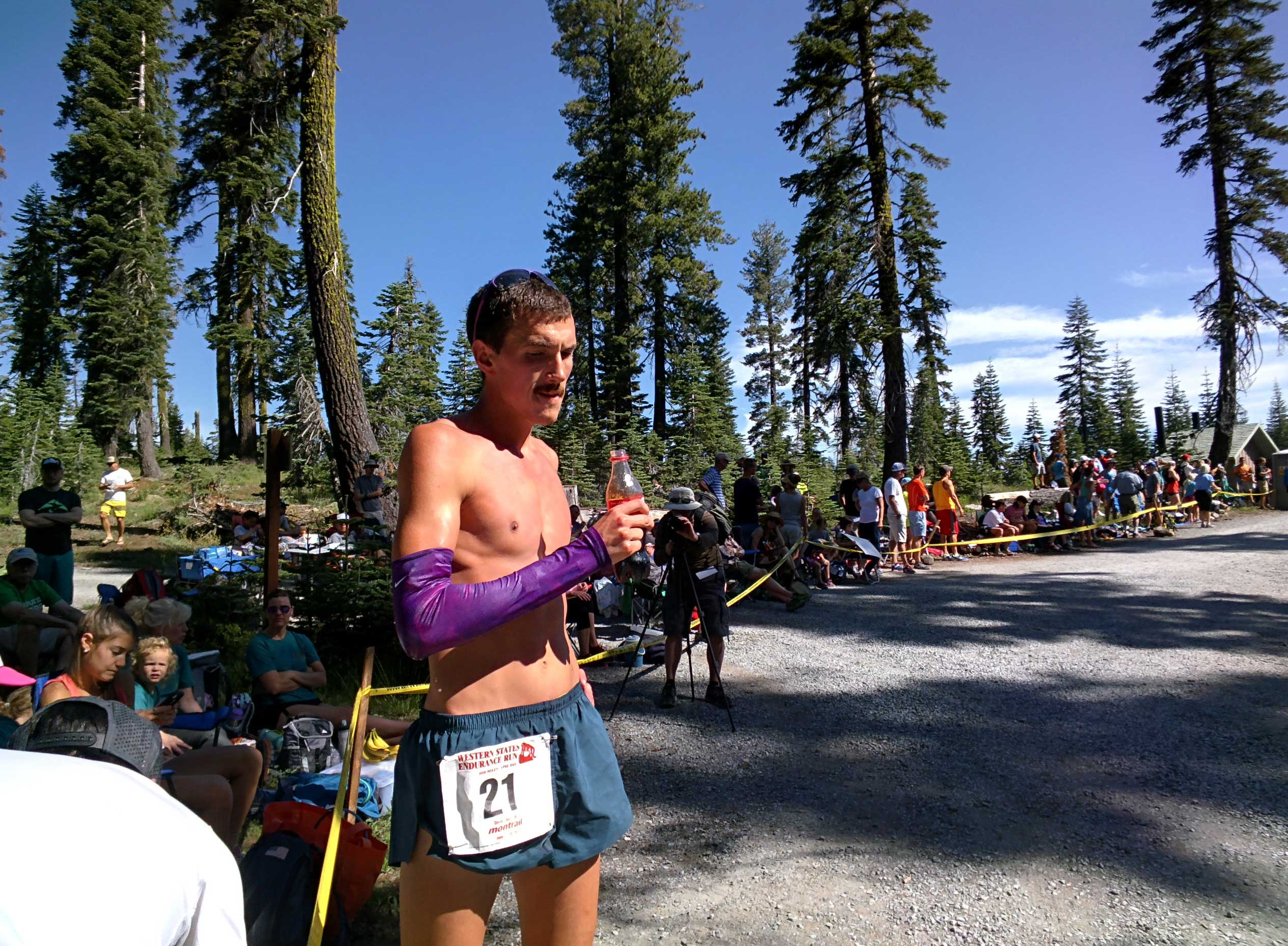
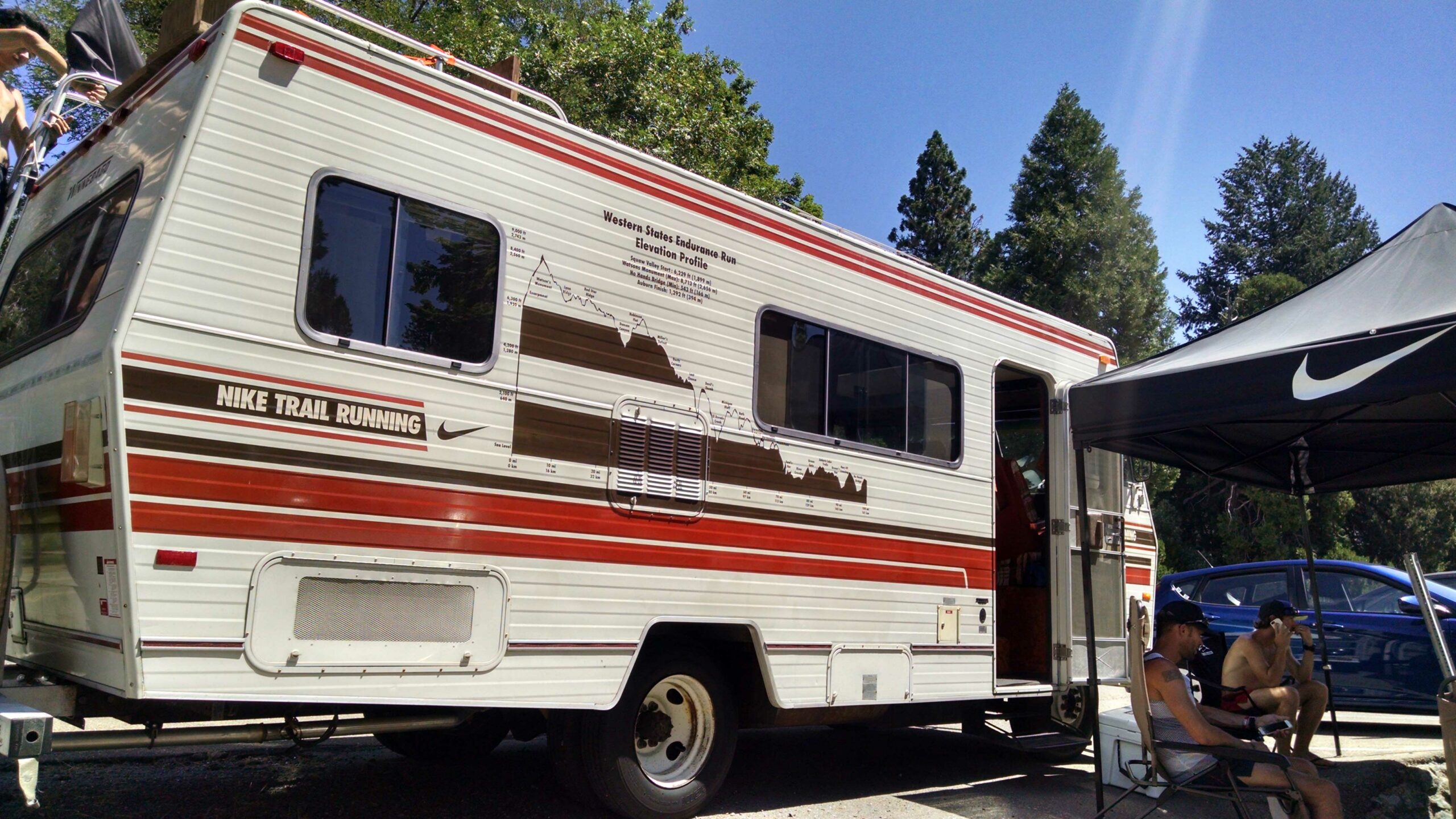
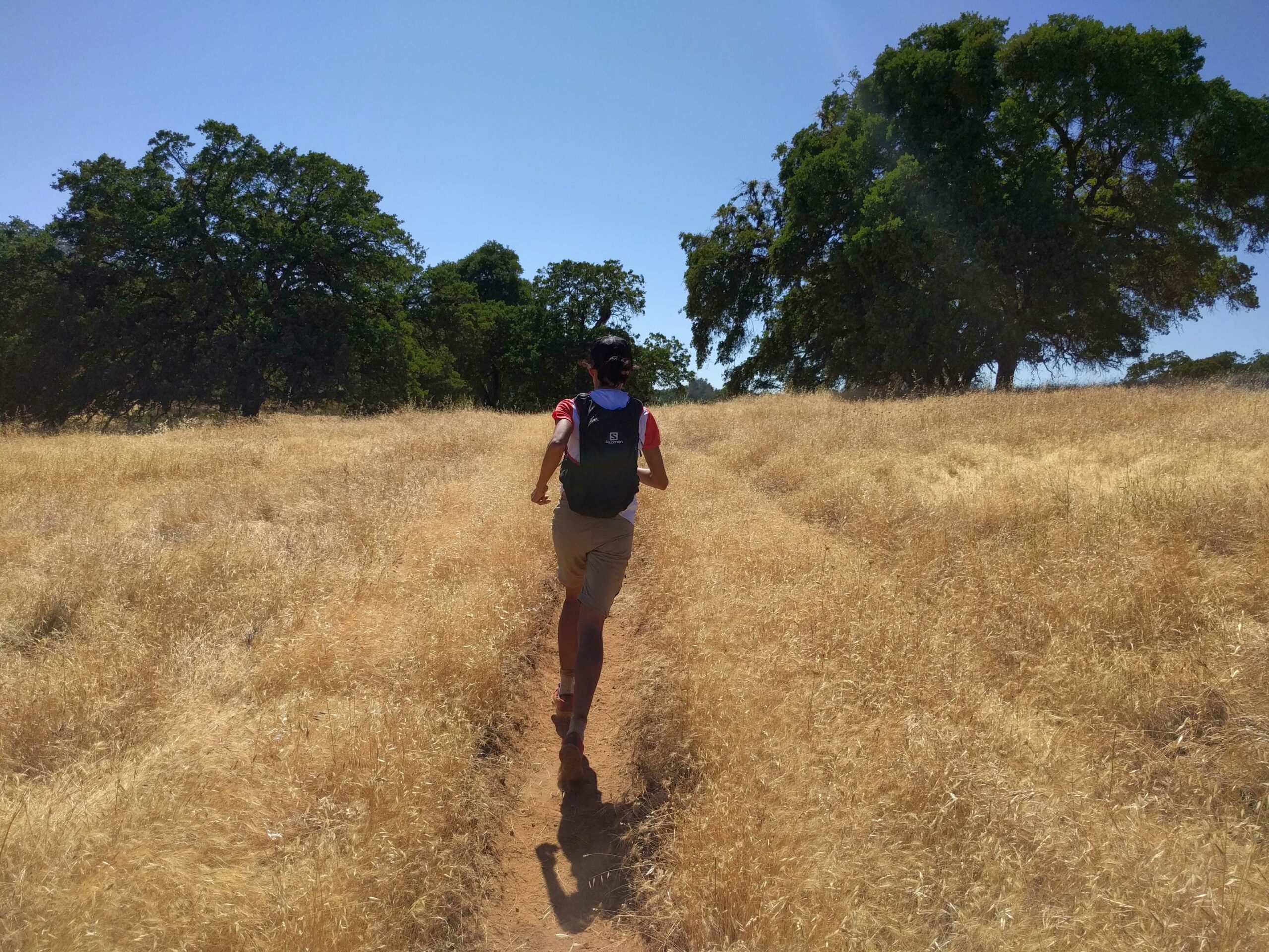
2015 Western States Photos by Myke Hermsmeyer
Need Paper Maps?
Do you like to kick it old-school and use paper maps while trail running? You can find fantastic maps of the many trails around Auburn at the “Our Trails” page on this official city website, auburnendurancecapital.com.